Site details
Petrogephyri Bridge
| PK | C7715 |
| TITLE | Petrogephyri Bridge |
| WGS84 | 37.590904° N, 22.92669° E |
| Accuracy | Exact |
| LAT/LON | 37.590904, 22.92669 |
| LON/LAT | 22.92669, 37.590904 |
| DMS | 37° 35' 27.2544" N | , | 22° 55' 36.084" E |
| W3W | darlings, galloped, deliverance |
| UTM | 34 S, 670101.89, 4162171.59 |
| EGSA87 | 405095, 4160680 |
| Elevation m | 211 |
| Elevation feet | 692.3 |
| Region | Argolid |
GENERAL SITE TYPE Bridge
TYPE
1. Bridge. Simpson and Hagel [2006], 159 'The bridge, locally named 'Petrogephyri', in the district of Galousi, ... 'PERIOD (High Chronology)
1. Late Helladic: (1700 BC - 1050 BC)
a. Simpson and Hagel [2006]: 159,
NOTE
1. Dimensions of the bridge are given in Simpson and Hagel [2006] 159.
rhc
BIBLIOGRAPHY
1. Simpson and Hagel [2006]: Simpson, R. Hope and D.K. Hagel. Mycenaean Fortifications, Highways, Dams and Canals. SIMA vol. 133. Paul Åströms Förlag. Sävedalen, Sweden. 2006., 'II The Highway between Tiryns and Epidauros', pg. 159.
PHOTOS AND IMAGES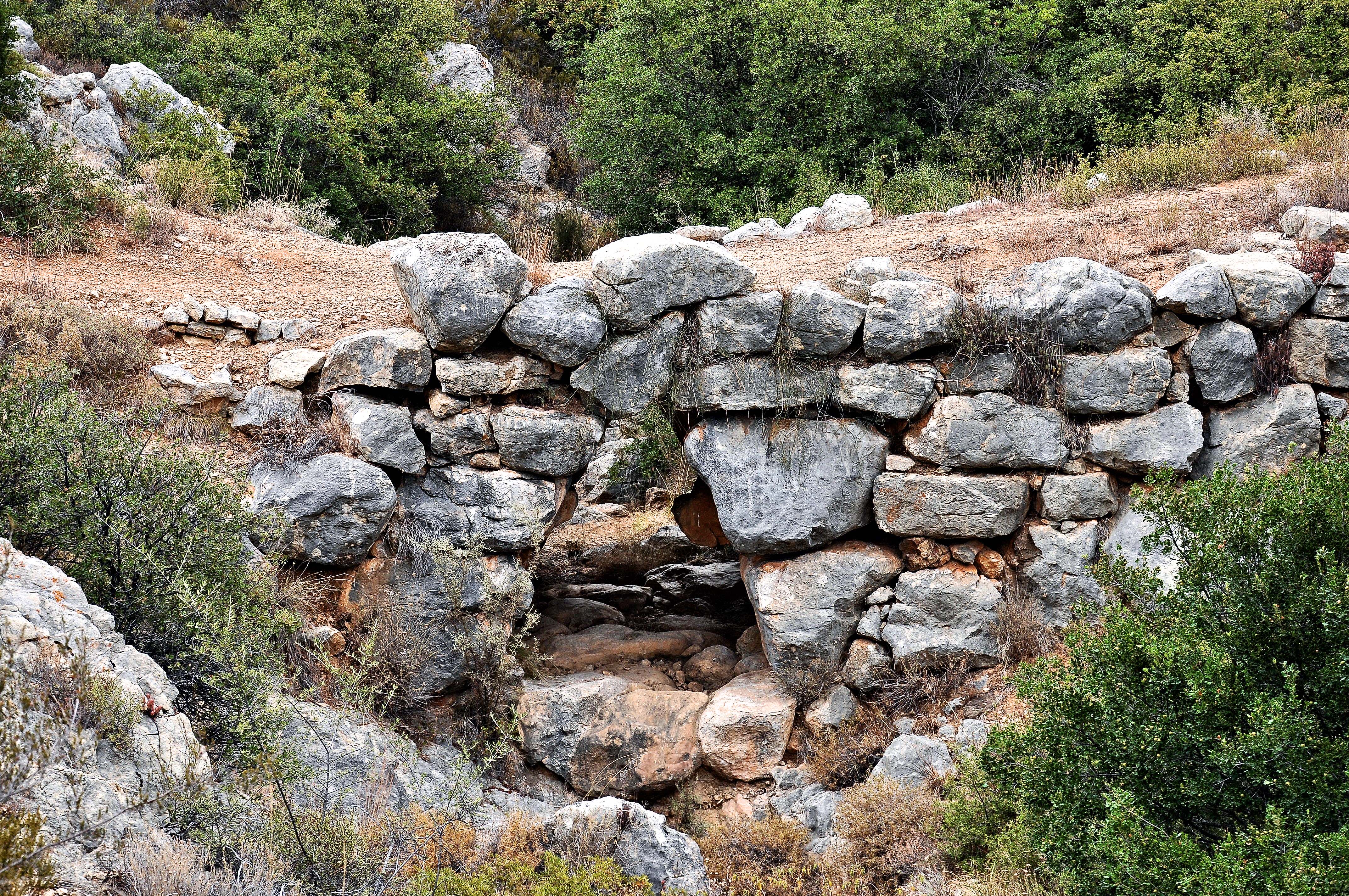
Petrogephyri Bridge (Galousi District)
Dr. Hajo Becker asserts his rights to this photograph under Attribution-ShareAlike 4.0 International (CC BY-SA 4.0).